Where We Work


We do our research on the western side of Prince of Wales Island, and the islands that surround it, in Southeast Alaska. For this project, most of our team moves from Juneau to Craig (AK), where we do our research from the end of April to the end of August. We use boats to get to all or our research sites and are on the water most days of the summer. Our sampling sites are shown in the map below. 


KML-LogoFullscreen-LogoGeoRSS-Logo
POW

loading map - please wait...

Salt Lake Bay 1: 55.672640, -133.378000
Nossuk Bay 1: 55.707300, -133.342000
Chusini Cove 1: 55.806920, -133.171000
Kaguk Cove: 55.733610, -133.290000
Naukati Bay 1: 55.862405, -133.190722
Guktu Bay: 55.739816, -133.312022
Blanquizal Bay: 55.620820, -133.386640
Soda Bay: 55.263660, -132.995000
Goat\'s Mouth Inlet: 55.192860, -132.900000
North Pass 1: 55.229620, -132.925000
Natzuhini Bay 1: 55.250510, -132.883000
Dunbar Inlet: 55.084800, -132.826000
Farallon Bay: 55.191120, -133.105314
Hetta Cove: 55.155625, -132.589934
N Fish Egg Island: 55.497090, -133.170000
S Fish Egg Island: 55.484420, -133.175000
S Wadleigh Island: 55.529040, -133.147000
Shinaku Inlet: 55.599290, -133.160000
Trocadero Bay: 55.344914, -133.001100
Garcia Bay: 55.552669, -133.431392
Port Refugio: 55.282137, -133.334028
Kaguk Cove: 55.732511, -133.290725
Guktu Cove: 55.739119, -133.311968
Blanquizal Bay: 55.620484, -133.386254
S Wadleigh Island: 55.528424, -133.147345
Shinaku Inlet: 55.599299, -133.157644
Hauti Island: 55.870759, -133.150694
Garcia Cove: 55.551359, -133.429813
Chusini Cove 2: 55.813558, -133.167403
Nossuk Bay 2: 55.714570, -133.358522
Salt Lake Bay 2: 55.684173, -133.377143
Natzuhini Bay 2: 55.247155, -132.879137
Natzuhini Bay 3: 55.241887, -132.837131
North Pass 2: 55.228334, -132.910392
Mushroom Island: 55.214070, -132.847233
Sukkwan Narrows: 55.188785, -132.842514
Port Caldera: 55.362102, -133.160241
Outer Shinaku: 55.585855, -133.214664
Squam Bay: 55.789112, -133.336687
Kinani Point: 55.889642, -133.250126

Screen Shot 2018-06-20 at 20.16.23
Screen Shot 2018-06-20 at 20.16.34

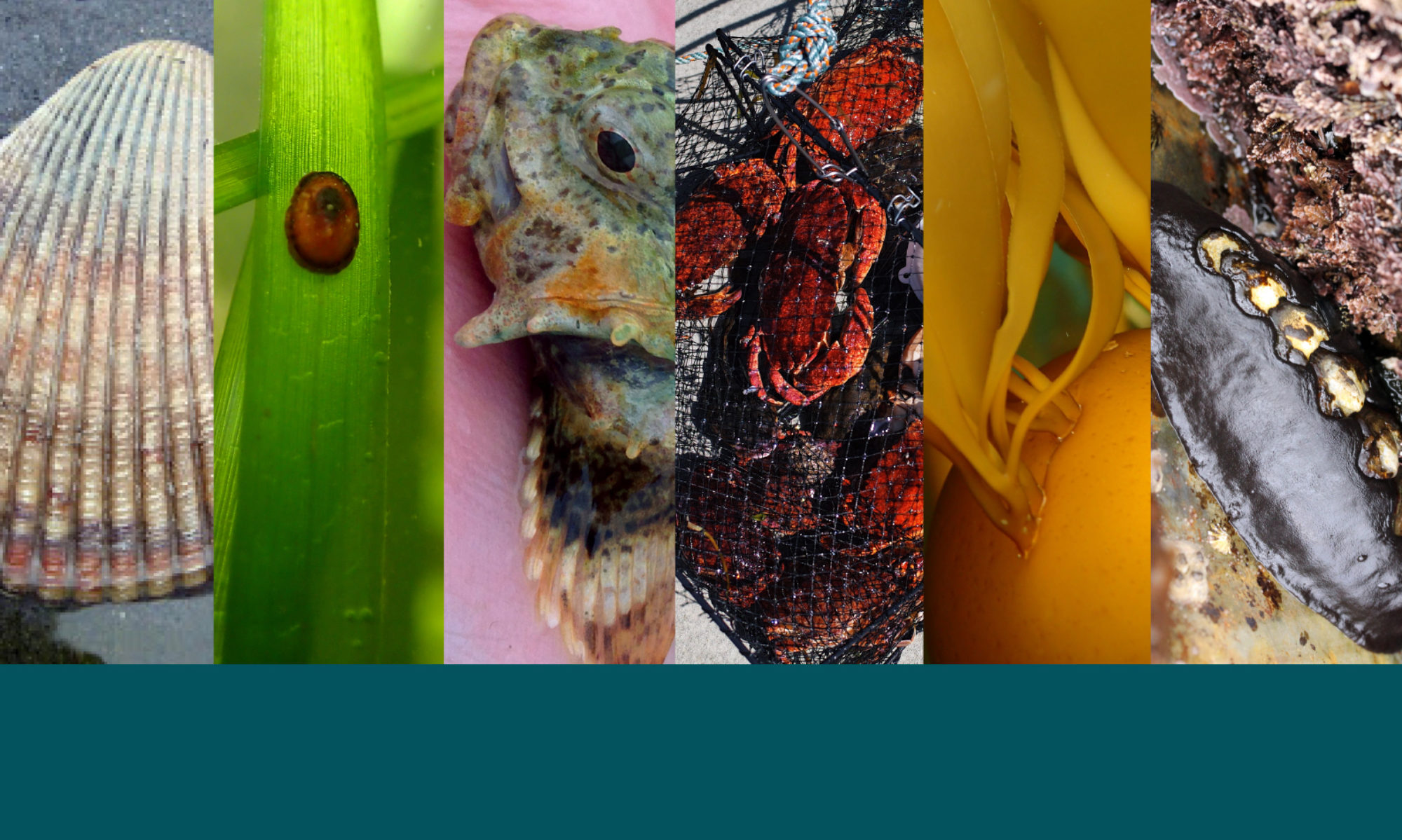
Seagrass sites: in these spots, we looked at seagrass abundance and structure, collected sediment to look at carbon storage, captured crabs to count and measure using crab pots, catch fish to count and measure using a beach seine net, and also recorded water temperature, salinity, and light.

Experimental seagrass sites: in these spots, we are testing the direct effect of sea otter disturbance at the upper edges of seagrass beds. Sea otters dig for clams in these habitats and, observationally, may remove seagrasses while foraging for food.